A powerful storm system, expected to intensify into a "bomb cyclone," is heading towards Northern California and southern Oregon, potentially bringing severe weather conditions from Tuesday, 19 November, to Thursday, 21 November. Meteorologists have warned of extreme rain, high winds, and significant snowfall in higher altitudes, raising concerns about flash flooding and other hazards across the region.
According to WeatherNation, the storm is forecast to undergo rapid pressure drops, a phenomenon termed "bombogenesis." The pressure is expected to plummet from over 1,000 millibars on Monday evening to below 950 millibars by Tuesday night. This sharp decline signifies a rapidly intensifying storm, confirmed by data from the National Oceanic and Atmospheric Administration (NOAA).
Key Areas to Experience Severe Impacts
The University of California, San Diego, has classified the impacts between the San Francisco Bay Area and Eureka, California, as "extreme." Central Oregon to Salinas, California, is also likely to experience significant effects, including wind gusts reaching up to 70 mph and rainfall ranging between 2 to 4 inches daily. Elevated regions exceeding 3,500 feet could witness snowfall accumulation of up to 2 feet, adding to the storm's challenges.
Atmospheric River and Its Dual Role
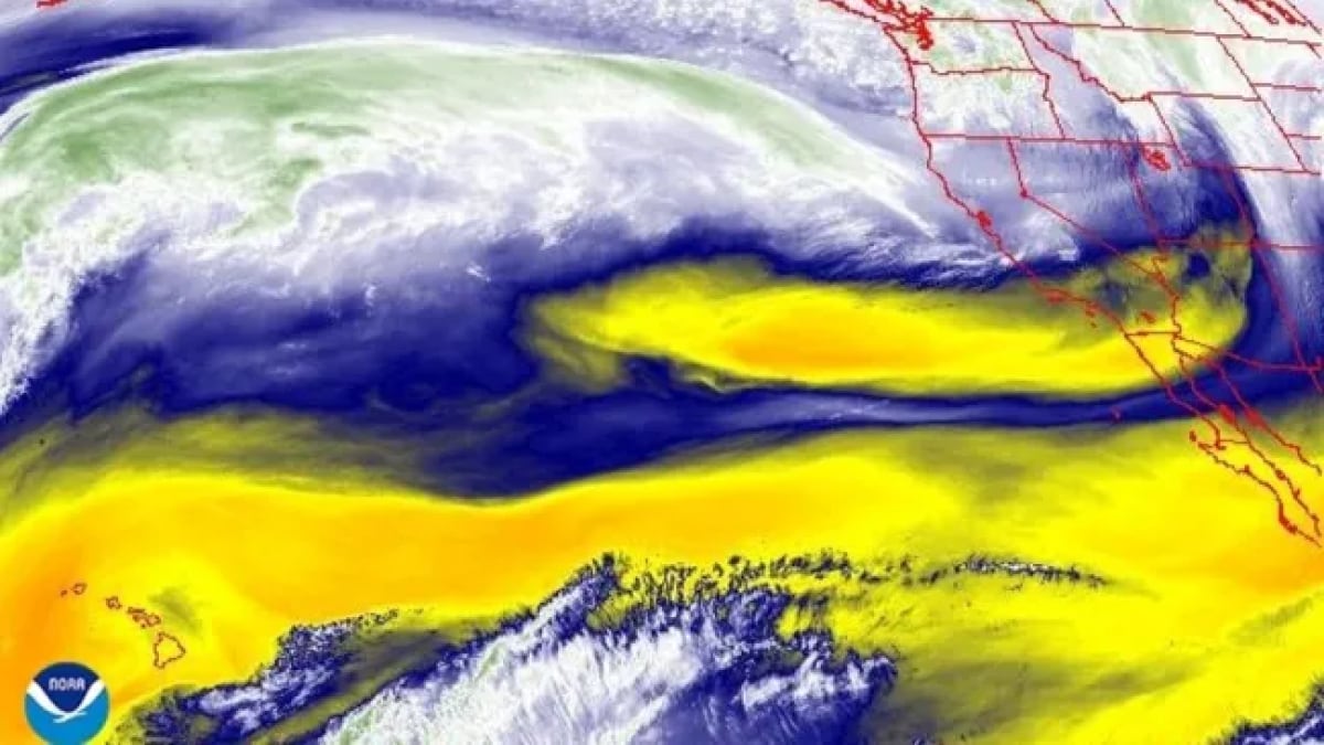
The incoming storm is being driven by an atmospheric river, a weather pattern pulling tropical moisture northwards. While such systems are essential in providing 30% to 50% of the West Coast's annual precipitation, they are also associated with risks like mudslides and flooding.
NOAA researchers have highlighted the long-term impacts of climate change on these weather events. A study published in 2021 warned of shifting patterns leading to heavy low-elevation rainfall and diminished high-altitude snowfall, which could disrupt the water supply by reducing snowpack that serves as a steady year-round source.
The storm is expected to deliver both challenges and opportunities, as residents brace for its impacts while water reservoirs may receive much-needed replenishment. Emergency services and weather authorities remain vigilant as the system approaches.


