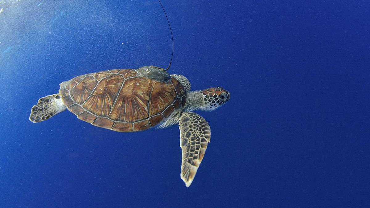
Seagrass meadows, which serve as critical marine ecosystems, have been mapped more accurately using satellite-tagged green turtles compared to conventional satellite imagery, according to a study published in the Proceedings of the Royal Society B. These underwater habitats are vital for biodiversity, carbon storage, and stabilising seabeds. However, their mapping has remained a challenge due to technological limitations. The research was conducted in the Red Sea, an area with limited seagrass data, as reported by marine ecologists from the King Abdullah University of Science and Technology (KAUST).
Tracking Green Turtles to Locate Seagrass
The study involved the tagging of 53 green turtles (Chelonia mydas) on Saudi Arabian beaches in the Red Sea. Led by Dr. Hugo Mann, marine ecologist at KAUST, the researchers equipped the turtles with satellite transmitters after their nesting cycles to avoid disruptions.
The devices transmitted location data whenever the turtles surfaced for air, revealing consistent movement patterns over specific sites. These areas were identified as seagrass meadows, with 34 previously unrecorded patches being discovered.
Validation efforts confirmed seagrass in all visited locations identified by turtles, while only 40% of sites flagged by the Allen Coral Atlas, a remote sensing tool, were verified. As stated by Carlos Duarte, a senior marine ecologist at KAUST, the findings highlight the limitations of existing mapping techniques for underwater habitats.
Environmental and Conservation Implications
Seagrass meadows contribute significantly to carbon sequestration, storing up to 4 teragrams of carbon, the study estimated. Dr. Mann emphasised the necessity of identifying these ecosystems to enhance conservation strategies. Seagrass is increasingly threatened by human activities, making accurate mapping crucial for its protection.
Dr. Jennifer Dijkstra, a marine ecologist at the University of New Hampshire, noted in the study's findings that animal tracking could improve artificial intelligence-based mapping, offering a potential global solution for resource-constrained regions.
The researchers hope the method will lead to large-scale surveys, aiding efforts to conserve both seagrass habitats and the green turtles that depend on them.


