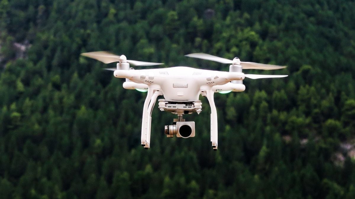
A new celestial navigation system developed by scientists at the University of South Australia (UniSA) is expected to enhance drone operations by enabling uncrewed aerial vehicles (UAVs) to navigate using stars. This innovative method, designed to eliminate reliance on GPS signals, could make drones harder to detect and immune to jamming attacks, according to reports. The research was published in the journal Drones and is being hailed as a step forward in providing resilient, cost-effective navigation systems.
Design and Functionality of the System
The navigation system integrates visual observations of stars with conventional autopilot technology, making it lightweight and affordable for smaller drones. Samuel Teague, a researcher at UniSA, explained to Space.com that the new system is more compact and simpler than traditional star-based navigation setups. These traditional systems, often bulky and expensive, have primarily been used in spacecraft and large aircraft.
Testing of the system on a fixed-wing UAV reportedly demonstrated its ability to determine location with a precision of up to 2.5 miles (4 kilometres). Such accuracy is particularly significant in environments where GPS signals are disrupted, as often occurs during electronic warfare.
Potential Applications in Defence and Civil Sectors
The system's ability to function independently of external signals has drawn attention for both military and civilian applications. Javaan Chahl, a UniSA scientist, stated in Space.com that it could support environmental monitoring in remote areas, as well as long-duration surveillance missions in GPS-compromised regions.
The development comes amidst growing concerns about the vulnerability of drones to GPS jamming, a tactic widely reported to have been employed during the Ukraine conflict. By using celestial navigation, drones could evade detection and interception, raising implications for both offensive and defensive military strategies.
This innovation is expected to bolster the evolving role of drones in modern warfare and civilian operations, offering an alternative navigation method that enhances resilience and versatility.


